
Old Bloke On An Old Bike
The story of the restoration of a 1950s classic bicycle for a Land's End – John O'Groats charity ride in aid of Alzheimer's Society
7 Jun 2016: What shape are we in – navigation?
How to stay on track during the ride? I have an impressive capacity for getting lost on an epic scale, so navigation is a concern. Last Friday I tried a different approach and managed to complete a long ride with almost no problems, so I now have a method to use.
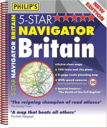
I’m following the CTC’s advice by using pages taken from Philip’s Navigator road atlas to plan and follow the route. This works much better than the GPS cycle computer I have, which has a screen that’s too small to cover a reasonably-sized area in good detail.
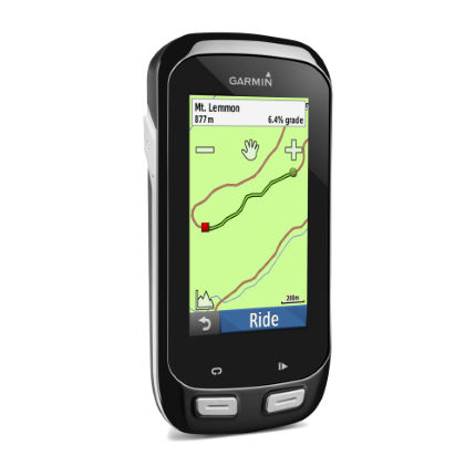
 But GPS units are quite good for complicated navigation in town centres, where the map doesn’t show enough detail.
So I’ll be using a bunch of marked-up pages from the road atlas, together with a Garmin GPS that claims to be able to put out a live feed of our location, and also a summary of each day’s run via Twitter. Hmm… we’ll see how that works. But at least I’m now a bit more optimistic about finding the way
 More on the state of preparations tomorrow…
About me
I'm Steve Pudney, a health economist now at the University of Sheffield. I carry out research on policy on disability, and I'm very concerned about the prospects for many disabled older people. I'm a keen cyclist and so decided to do something practical to help by raising money for Alzheimer's Society. Please consider supporting us.
